


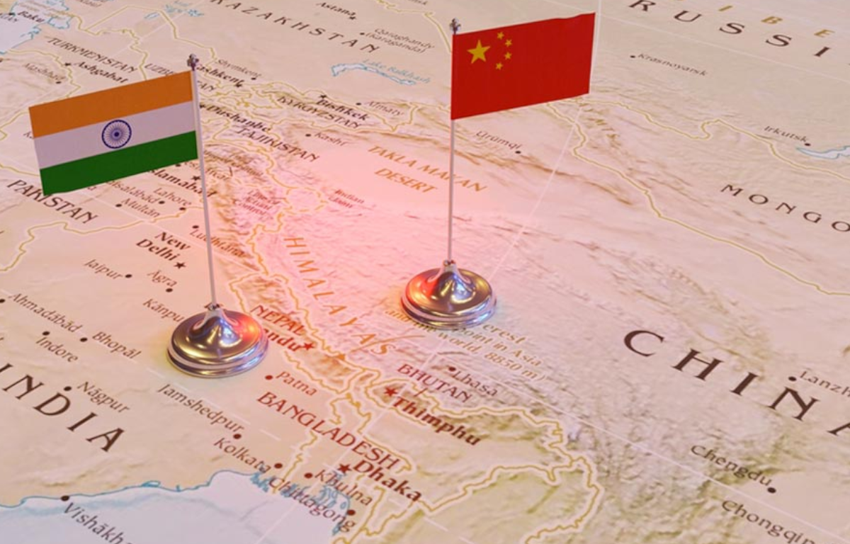
China has long been embroiled in territorial disputes with various neighboring countries, including India. The depiction of contested regions on official maps has often been a contentious issue. In this recent incident, parts of India’s northeastern state of Arunachal Pradesh and the union territory of Ladakh have been shown as part of Chinese territory in a newly released Chinese map. This unilateral revision of borders has raised eyebrows globally and has been met with strong condemnation from India.
The misrepresentation of territories on maps is not merely a cartographic mistake; it has serious diplomatic ramifications. In a world where accurate representation of borders is fundamental to international relations, this act by China is seen as a violation of established norms. India’s Ministry of External Affairs has issued a strong protest against this distortion of its sovereign boundaries, terming it an attempt to unilaterally change the status quo.
The Asia-Pacific region has witnessed several territorial disputes that have the potential to destabilize the entire area. China’s consistent expansionist ambitions have irked its neighbors, leading to increased military posturing and strained diplomatic relations. The depiction of Indian territories as Chinese on official maps further fuels these concerns. Such actions could potentially escalate tensions, triggering a ripple effect on the regional balance of power.
China and India share one of the world’s longest disputed borders, known as the Line of Actual Control (LAC). The LAC stretches over 3,400 kilometers and passes through areas of difficult terrain, making demarcation complex. The two countries fought a brief but intense war over these territories in 1962, and sporadic clashes have occurred since. Despite multiple rounds of negotiations, a comprehensive resolution to the border dispute remains elusive.
The international community has not turned a blind eye to China’s recent actions. Several nations have expressed concern over this misrepresentation, emphasizing the importance of respecting international norms and territorial integrity. The European Union, United States, and Australia, among others, have urged China to adhere to peaceful diplomatic channels for dispute resolution.
As the G-20 Summit approaches, the map controversy between China and India stands as a stark reminder of the fragile nature of global geopolitics. The depiction of Indian territories as Chinese on official maps has not only ruffled diplomatic feathers but also has the potential to destabilize an already volatile region. The incident underscores the need for transparent and diplomatic solutions to territorial disputes, emphasizing dialogue over unilateral actions. In an era when international cooperation is paramount, such acts of territorial revisionism serve as an unfortunate distraction from the collective pursuit of global progress.


Share this: