The territorial dispute over Arunachal Pradesh is a long-standing issue between India and China, stemming from the 1962 Sino-Indian War. Despite numerous rounds of negotiations, a lasting resolution remains elusive. The region’s importance lies not only in its strategic location but also in its cultural and geographic significance to India.
At the heart of the issue is China’s persistent use of the “standard map,” which shows Arunachal Pradesh as part of Chinese territory. This practice not only contradicts India’s official stance but also undermines the ongoing diplomatic efforts to resolve the border dispute. Maps are not mere representations; they hold symbolic value in territorial disputes and can significantly influence public opinion and international perception.
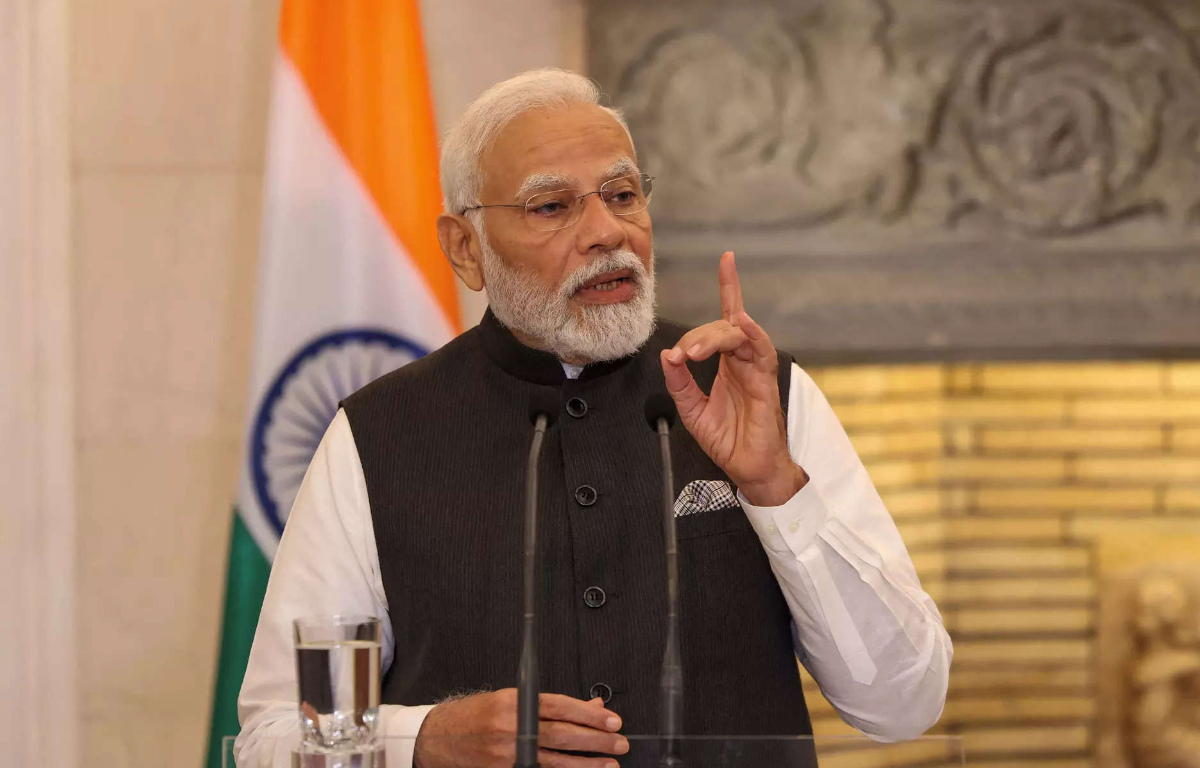
Leaders from Arunachal Pradesh, including members of the Indian parliament, are now calling on Prime Minister Modi to address the “standard map” issue. They argue that China’s unchallenged use of these maps could weaken India’s claims to the region on the global stage. Their appeal emphasizes the gravity of the issue and its potential impact on the ongoing border negotiations.
Beyond the cartographic dispute, the use of the “standard map” carries geopolitical implications. It reflects China’s assertiveness in various territorial disputes, such as the South China Sea, and signals the broader challenges India faces in managing its relationship with its formidable neighbor. For India, the border dispute with China extends beyond its northeastern borders and affects its foreign policy and global alliances.


Share this: